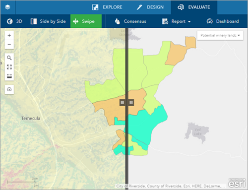
You can use the Swipe tool to interactively compare two maps in the same area by revealing a layer under the map. As you drag the vertical bar between the two maps, the selected swipe layer is revealed on one side of the map and hidden on the other. For example, this tool can be used to reveal a landscape conditions layer in an area around your plan.
The swipe layer can either be an image layer or a map layer.
To use the Swipe tool, complete the following steps:
- On the app toolbar, click Evaluate.
- Click Swipe.
- Drag the swipe bar left and right to reveal a layer on the left side of the map. The swipe layer can either be an image layer or a map layer.
