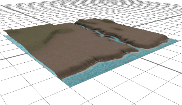
A Map Layer is used mainly to add terrain and satellite imagery to your scene. Additionally, you can use a Map Layer to control the automatic street creation tool and to control CGA rule attributes.
- You select a Map Layer in the Scene Editor. They are not selectable in the Viewport.
- You can move and scale a Map Layer but not rotate.

Map Layer types
- Terrain Layer — Creates a textured terrain based on a heightmap image and texture image. This is the most common Map Layer type.
- Texture Layer — Creates a flat horizontal plane in your scene. Useful for water bodies.
Auxiliary Map Layer types
They are used to influence the behavior of procedural functions.
- Obstacle Layer — Defines the areas where the street grow algorithms are prohibited to create streets. It can also be used to select objects based on their location on the Map Layer. An Obstacle Layer offers a true/false information for each location on the map.
- Mapping Layer — An arbitrary combination of image map channels and mathematical functions. Typically used to control the height or usage type of a building based on its location. A Map Layer can offer multiple values for each location on the map.
- Function Layer — Instead of an image, this layer type takes a mathematical function to generate information for each location on the map.