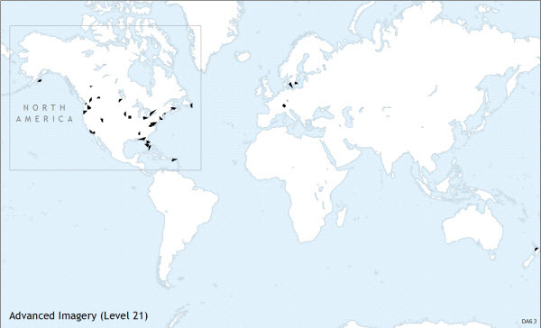
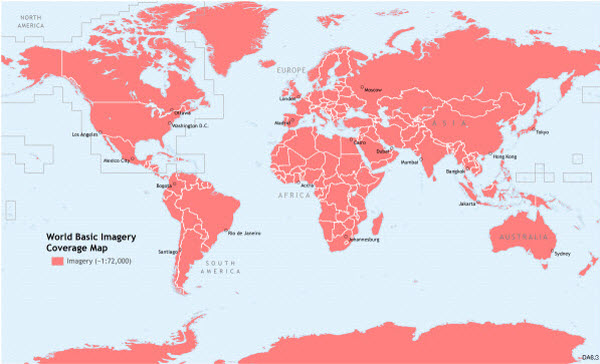
As illustrated in the coverage maps below, coverage in the World Imagery basemap from Data Appliance 6.3 for ArcGIS is provided at the following scales:
World Basic
- ~1:591M down to ~1:72k using 15-meter imagery.
- Coverage also includes 2.5-meter imagery, where available, at ~1:577k down to ~1:72k.
World Standard
- Everything in World Basic.
- At larger scales, includes 2.5-meter imagery, where available, down to ~1:9k worldwide.
- Geographic coverage and levels of detail for 1-meter and higher-resolution imagery at scales ~1:9k to ~1:1k is the same as Data Appliance 6.0. Imagery was updated at these scales wherever new imagery was available.
World Advanced
- Everything in World Basic.
- At larger scales, includes 2.5-meter imagery, where available, down to ~1:9k.
- At ~1:9k to ~1:282, all available imagery is included, both geographically and in levels of detail.
North America Standard
- Everything in World Basic.
- At larger scales, includes 2.5-meter imagery, where available, down to ~1:9k for North America.
- Geographic coverage and levels of detail for 1-meter and higher-resolution imagery at scales ~1:9k to ~1:1k is the same as Data Appliance 6.0 for North America. Imagery was updated at these scales wherever new imagery was available.
North America Advanced
- Everything in World Basic.
- At larger scales, includes 2.5-meter imagery, where available, down to ~1:9k for North America.
- At ~1:9k to ~1:282, all available imagery within North America is included, both geographically and in levels of detail.
World Basic Imagery coverage map
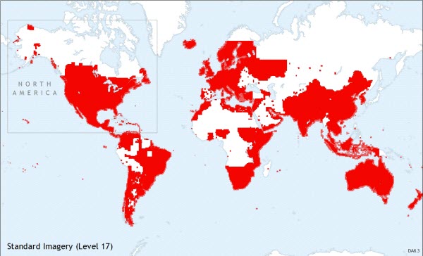
Standard Imagery coverage maps
Standard Imagery coverage map at 1:4,000 (Level 17)
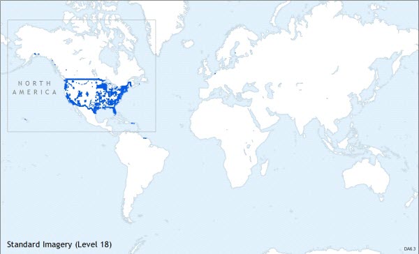
Standard Imagery coverage map at 1:2,000 (Level 18)
Standard Imagery coverage map at 1:1,000 (Level 19)
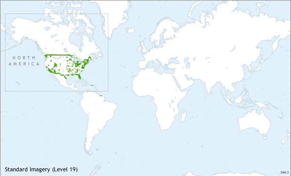
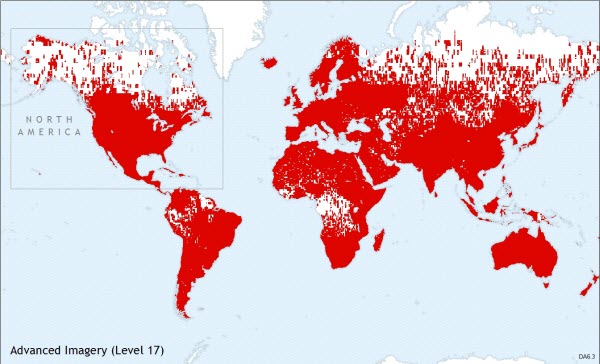
Advanced Imagery coverage maps
Advanced Imagery coverage map at 1:4,000 (Level 17)
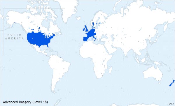
Advanced Imagery coverage map at 1:2,000 (Level 18)
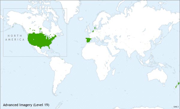
Advanced Imagery coverage map at 1:1,000 (Level 19)
Advanced Imagery coverage map at 1:600 (Level 20)
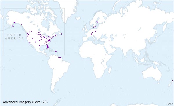
Advanced Imagery coverage map at 1:282 (Level 21)
