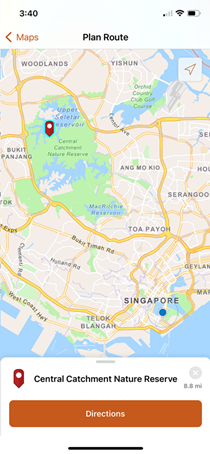
ArcGIS StreetMap Premium mobile map packages (.mmpk) in Web Mercator Auxiliary Sphere (WMA) compressed format are available for download and use in ArcGIS Navigator and ArcGIS Runtime with a StreetMap Premium extension. Mobile map packages are made available for download either through your ArcGIS Online account or through My Esri. Once imported into ArcGIS Navigator or downloaded by your ArcGIS Runtime app users, the mobile map packages provide fast-drawing cartographic maps, locators similar to what's included on ArcGIS Online, and network datasets that are similar to what's included in the standard products. WGS84 Web Mercator (Auxiliary Sphere) is the projected coordinate system for the mobile map packages. The mobile map packages are mainly organized by country, but there are also some regional mobile map packages, as well as state and province mobile map packages. The StreetMap Premium mobile map packages are updated for each region following each standard StreetMap Premium release.
To use the geocoding and routing capabilities in the mobile map packages, you must have the appropriate StreetMap Premium regional extension provisioned in ArcGIS Pro or the ArcGIS Runtime StreetMap Premium regional extension provisioned for your application. This should automatically be made available to you through Esri Customer Service. Check with your organization's license administrator or Esri Customer Service if a StreetMap Premium extension is not available.

For more information on the StreetMap Premium data available in mobile map package format, see Mobile map packages for ArcGIS Navigator and ArcGIS Runtime users.
For details on using mobile map packages in ArcGIS Navigator and ArcGIS Runtime, see Download a map in ArcGIS Navigator help.