Available with the ArcGIS Indoors Maps extension.
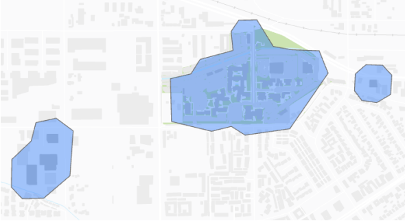
In some cases, you may need to track devices only in certain areas of a facility. The TrackingZones feature class in the ArcGIS Indoors Information Model defines the areas in which mobile devices can be tracked by ArcGIS Indoors.
Note:
You must create tracking zones and include the Tracking Zones layer in the mobile map package when you prepare and share it to your ArcGIS organization to enable location tracking.
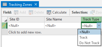
Location information is only reported if a mobile device is inside the areas specified in the feature with the Track Type attribute value set to Track. Locations are not reported once the position of a mobile device is reported as outside the tracking zone. The attribute value can be changed to Do Not Track if you want to preserve the areas defined but don’t want locations to be reported. You can use this attribute to define areas where tracking is not wanted, for example, secure server rooms or restrooms.

You can create a tracking zone in the TrackingZones feature class by digitizing a polygon using the tools in the Create Features pane. Alternatively, you can load selected features into the TrackingZones feature class from the Units feature class using the Append tool.
To define a boundary surrounding the facility, you can run the Buffer tool to create a polygon surrounding the facility feature in the Facilities feature class with a specified distance. You can then use the Simplify Polygon tool to reduce the density of vertices in the polygon before loading the resulting feature into the TrackingZones feature class.

Once you have created tracking zones you can include the Tracking Zones layer in your mobile map package when you create and share it to your ArcGIS organization.