You can convert any feature class (polygon, polyline, or point) to a raster with the Feature To Raster tool. For more control over how the features are converted you can use any of these:
- Polygon to Raster tool
- Polyline to Rastertool
- Point to Raster tool
Polygon features to raster data
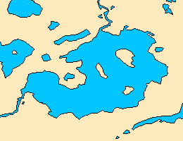
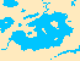
When you convert polygons, cells are usually given the value of the polygon found at the center of each cell.
The first image shows polygon features as the input; the second image shows the output raster dataset. These images have been simplified to help show the differences.
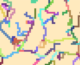
Polyline feature to raster data
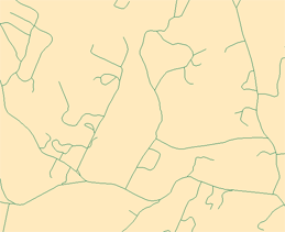
When you convert polylines, cells are usually given the value of the line that intersects each cell. Cells that are not intersected by a line are given the value of NoData. If more than one line is found in a cell, the cell is given the value of the first line it encounters when processing. Using a smaller cell size during conversion can alleviate this.
The first image shows polyline features as the input; the second image shows the output raster dataset. These images have been simplified to help show the differences.
Point feature to raster data
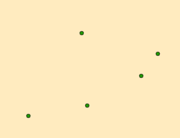
When you convert points, cells are usually given the value of the points found within each cell. Cells that do not contain a point are given the value of NoData. If more than one point is found in a cell, the cell is given the value of the first point it encounters when processing. Using a smaller cell size during conversion may alleviate this.
The first image shows point features as the input; the second image shows the output raster dataset. These images have been simplified to help show the differences.
